Sale on canvas prints! Use code ABCXYZ at checkout for a special discount!


by Texas Map Store
$24.95
Design Location
Color
Image Size
Product Details
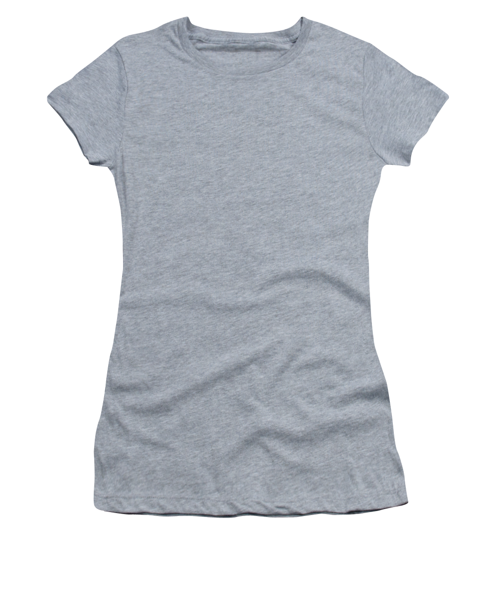
Our Bella / Canvas t-shirts are made from a 50% cotton / 50% polyester blend and are available in five different sizes. They're stylish, soft, and incredibly comfortable. Machine wash with cold water, and tumble dry on low heat.
Design Details
Known for its detailed depiction of the states adjacent to the Gulf of Mexico region and the Mississippi River, this map is also the first printed... more
Ships Within
1 - 2 business days

Digital Art

Canvas Print

Framed Print

Art Print

Poster

Metal Print

Acrylic Print

Wood Print

Greeting Card

iPhone Case

Throw Pillow

Duvet Cover

Shower Curtain

Tote Bag

Round Beach Towel

Zip Pouch

Beach Towel

Weekender Tote Bag

Portable Battery Charger

Bath Towel

Apparel

Coffee Mug

Yoga Mat

Spiral Notebook
Known for its detailed depiction of the states adjacent to the Gulf of Mexico region and the Mississippi River, this map is also the first printed map to show a variant name for Texas (from the note "Mission de los Teijas etablie en 1716" in what is now East Texas) and has been called "the map that named Texas". It depicts the great French explorations of the era and was copied for decades. By Guillaume de L'Isle.
$24.95


There are no comments for Carte de la Louisiane et du cours du Mississipi 1718. Click here to post the first comment.